Hurricane Florence is tracking toward the East Coast with an inevitability rarely seen in storms several days away from landfall, and while forecasters were careful to cite “high uncertainty” in recent days, the tone changed after watching the storm’s eventual path barely shift from what they had considered to be a worst-case scenario, Washington Post informed.
The National Hurricane Center on Monday morning was forecasting Florence to become a strong Category 4 storm before making landfall along the Southeast or Mid-Atlantic coast on Thursday.
Computer model forecasts generally project the storm to make landfall between northern South Carolina and the North Carolina Outer Banks, although shifts in the track are still possible and storm impacts will expand great distances beyond where landfall occurs.
Water up to 15 feet high will strike the coast, and rainfall inland over the next four to five days could reach 20 inches in some locations, CNN adds.
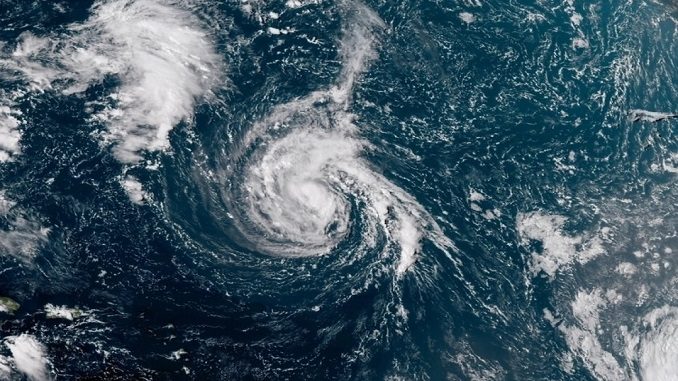
Florence was about 625 miles southeast of Bermuda as of 5 a.m. ET on Monday. The storm had maximum sustained winds of 105 mph and was moving west-northwest at about 9 mph, the National Hurricane Center said.
South Carolina Governor Henry McMaster said on Sunday he was asking President Donald Trump for a federal emergency declaration in anticipation of “significant impacts not only on our state but the entire east coast.”
“Pretend, assume, presume that a major hurricane is going to hit right smack dab in the middle of South Carolina and is going to go way inshore,” McMaster said at a press conference, TIME reports.
Be the first to comment